Maps: the time and space of the Hereford cloth of the world
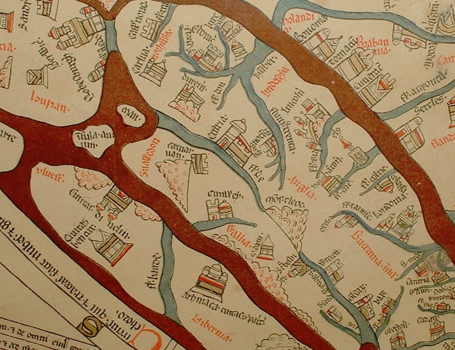
The Hereford Mappa Mundi is one of the oldest know, complex map of the world (Mappa = cloth Mundi = world). It dates from about 1285, and are found in the Hereford cathedral. It depicts 420 towns, 15 Biblical events, 33 animals and plants, 32 people, and five scenes from classical mythology.

Not a map in the sense of what we think of today, it attempts to contain both time and space, showing geography and depicting events and people. These are concepts we still struggle with today, to set history into the context of events and places. There are thousands of attempts to combine time-space: to show relations in multivariable information and data. So maybe it is good to know that this is a struggle that has been going on for a long time.
We would have certain difficulties reading the Hereford map. Not only because it is littered with people, plants, animals, and events, but also because Jerusalem is at the centre, east is up, and things like the garden of Eden and paradise is included.
Interestingly, it does not correspond with the knowledge of the world at the time, but seems to be a combination of artistic and (what was seen as) accurate expression of events, geography, history, religion, and myths. It is worth noting that it was well known that the world was not flat; the ancient Greeks had established that over a thousand years before. We tend to underestimate people of long ago, they were not idiots, contrary to popular belief. So the fact that it is a circular depiction does not indicate the “world disc”. They simply believed that only the northern hemisphere was populated.
Of course, in addition to the wonderful view on geography, exploring the exotic depiction of historical and mythical events and creatures is a delight in itself.
More on maps later.


Sources:
One thought on “Maps: the time and space of the Hereford cloth of the world”